DH Blueprints is Live and Ready to Teach by Example

DH Blueprints is live and ready to teach by example. Visit our final project website, DH Blueprints. There you can see what came of our projects as well as the various resources we compiled for people interested in learning more about the exciting field of digital humanities. A more in depth recap is forthcoming.

(Image Credit: Libby Dowdall)

Where Am I and How Did I Get Here?

My individual digital scholarship project, which is now part of our collaborative ‘meta-project’ around digital scholarship, has changed a great deal in the last few weeks. And it’s changed even more since I first began to envision what our collective digital project would be. Initially, I wanted to explore a project that would map the publication data of the Native American books collection. Then, I wanted to plot geographic locations within various books to see what Native American authors were writing about a given region in the U.S.  over time. And now, I’ve shifted to using text analysis programs and methodologies to compare two different Iroquois creation stories written by Tuscarora authors. How’d this happen? Continue reading Where Am I and How Did I Get Here?

Coming up for Air: a Brief Recap on a Week of Research

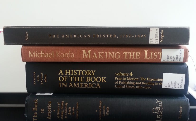
Last week, we interns had free reign to do our own research relating to a digital project proposal for the KWE Native American book collection. This meant lots of time exploring different books and articles related to Native American studies and digital humanities tools that could be useful for our digital project. I broke up my time reading and gathering info on two broad subjects that tended to overlap as I began to hone in on what I was interested in. In the one corner, there was Native American literary history. In the other, studies related to the history of American publishing and of American print culture. In many ways it was a week of info dumping- searching catalogs for articles, skimming said articles, checking bibliographies, looking up books… you get the idea. With that said, I think an important take away from this is that there is so much to learn about the fields I’m looking at. That can be daunting, but it’s also cool to be exposed slowly but surely to something new. Anyway, I have a few more takeaways that might be best served as questions.  Continue reading Coming up for Air: a Brief Recap on a Week of Research

Maps on Maps on Maps

Out of the different forms of data visualization that my fellow interns and I have begun to explore, geographic information systems (GIS) or mapping tools have remained one of the most interesting options to me. And for good reason. First off, as a tool for displaying information, maps and mapped data in general begin to shape a story about your data. Put another way, your data really has a chance to saying something once it’s been mapped. For example, trends and outliers within lotted publication addresses from pre-20th century Native American books will reveal themselves and because you’re looking at an image/display, perhaps an interactive (clickable, zoomable) one, that info sticks in your brain more. And we’re all about that here. Continue reading Maps on Maps on Maps

How in the World?

How do we, everyone working on this project, talk about the KWE Native American books collection as a whole? What sort of project and what kind of tools could make something that speaks to the whole collection? For some reason, I’m particularly interested in broad questions of place concerning these Native American books- How for instance would we present geographic- info on where these authors are from or where their books were published-in a meaningful and accessible way?

Continue reading How in the World?